

Aerial view of Shanghai Pudong skyline overlaid
By @minskiy19 ·
Tags
- smart city
- shanghai pudong
- 5G connectivity
- iot infrastructure
- aerial city view
- digital network visualization
- geolocation pins
- futuristic urban technology
- lujiazui skyline
- connected cities
- smart transport
- internet of things
- metropolitan data network
- smart urban planning
About this image
This futuristic digital visualization shows Shanghai's Lujiazui financial district crisscrossed by glowing data lines linking illuminated geolocation pins. The cool blue twilight aerial view features iconic skyscrapers and streaking street traffic, illustrating smart city 5G and IoT urban connectivity. The sleek cool-toned palette with warm streetlight accents conveys advanced interconnected urban infrastructure.
More from @minskiy19
See all → Intelligence analyst viewing floating futuristic HUD screens of Saint Petersburg surveillance and geospatial data
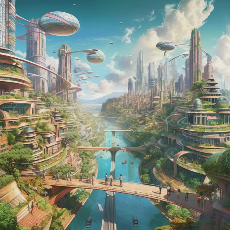 Lush eco-friendly futuristic solarpunk city with airships, a central river, and pedestrians on a sky bridge
 Aerial dusk view of Shanghai Pudong skyline overlaid with glowing interconnected digital network nodes
 Luxury waterfront terrace view of glowing futuristic skyscraper city skyline on a dark misty night
 Futuristic sustainable smart city with flying drones, hologram interfaces and green skyscrapers at sunrise
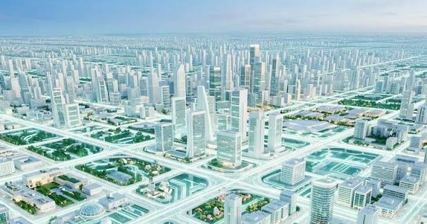 Aerial view of a sprawling futuristic planned metropolis with grid roads, skyscrapers and urban green spaces
More like this
See all →



Made on BudgetPixel
The models and tools behind posts like this one.
- SeeDream 5.0 Pro
- Kling Image 4.0
- MAI Image 2.7
- AI Image Generator
- AI Smart Crop Tool
- AI Company Logo Generator
Guide: NightCafe vs BudgetPixel (2026): Which Is Better for AI Artists?