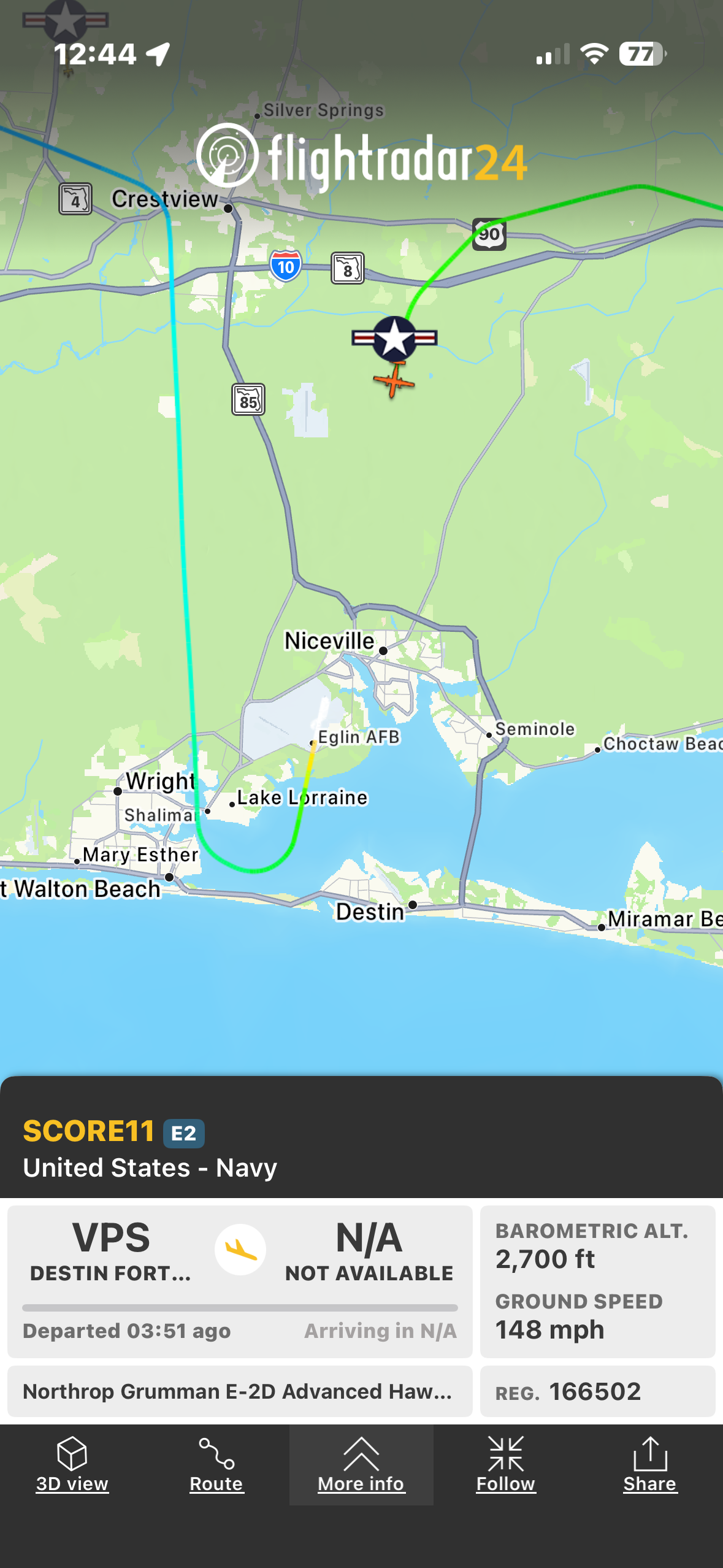
This real-time FlightRadar24 mobile app screenshot tracks an active United States Navy Northrop Grumman E-2D Advanced Hawkeye military aircraft over the Florida Panhandle near Destin and Eglin Air Force Base. The map displays the flight's color-coded travel path, real-time telemetry including 2,700 foot barometric altitude and 148 mph ground speed, alongside labels for surrounding local towns, highways, and coastal waterways. The lower interface panel lists aircraft registration, departure details from Destin-Fort Walton Beach Airport, and navigation controls for route view, follow, and sharing features.
user12 on BudgetPixel
@user12 · 8/13/2026
This real-time FlightRadar24 mobile app screenshot tracks an active United States Navy Northrop Grumman E-2D Advanced Hawkeye military aircraft over the Florida Panhandle near Destin and Eglin Air Force Base. The map displays the flight's color-coded travel path, real-time telemetry including 2,700 foot barometric altitude and 148 mph ground speed, alongside labels for surrounding local towns, highways, and coastal waterways. The lower interface panel lists aircraft registration, departure details from Destin-Fort Walton Beach Airport, and navigation controls for route view, follow, and sharing features.
Tags: flightradar24, military flight tracking, us navy aircraft, E-2D advanced hawkeye, northrop grumman, eglin afb, destin florida, florida panhandle, flight tracker app, military aviation, airborne early warning, fort walton beach, aircraft telemetry, real time flight map, navy surveillance aircraft