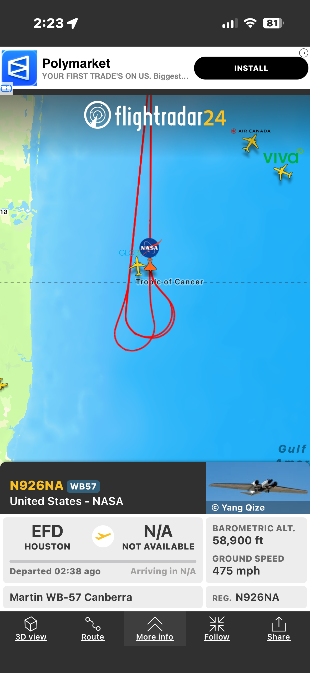
A live Flightradar24 map shows NASA WB-57 high-altitude research aircraft (N926NA) tracing a red looping flight path over the Gulf of Mexico near the Tropic of Cancer. The image highlights real-time aircraft tracking, with aircraft icons, blue ocean backdrop, and mission data panels for aviation enthusiasts and researchers.
user12 on BudgetPixel
@user12 · 5/24/2026
A live Flightradar24 map shows NASA WB-57 high-altitude research aircraft (N926NA) tracing a red looping flight path over the Gulf of Mexico near the Tropic of Cancer. The image highlights real-time aircraft tracking, with aircraft icons, blue ocean backdrop, and mission data panels for aviation enthusiasts and researchers.
Tags: flight tracking, Flightradar24, NASA, WB-57, N926NA, Gulf of Mexico, Tropic of Cancer, high-altitude aircraft, live flight path, air traffic map, Houston departure, aviation research, aviation enthusiasts